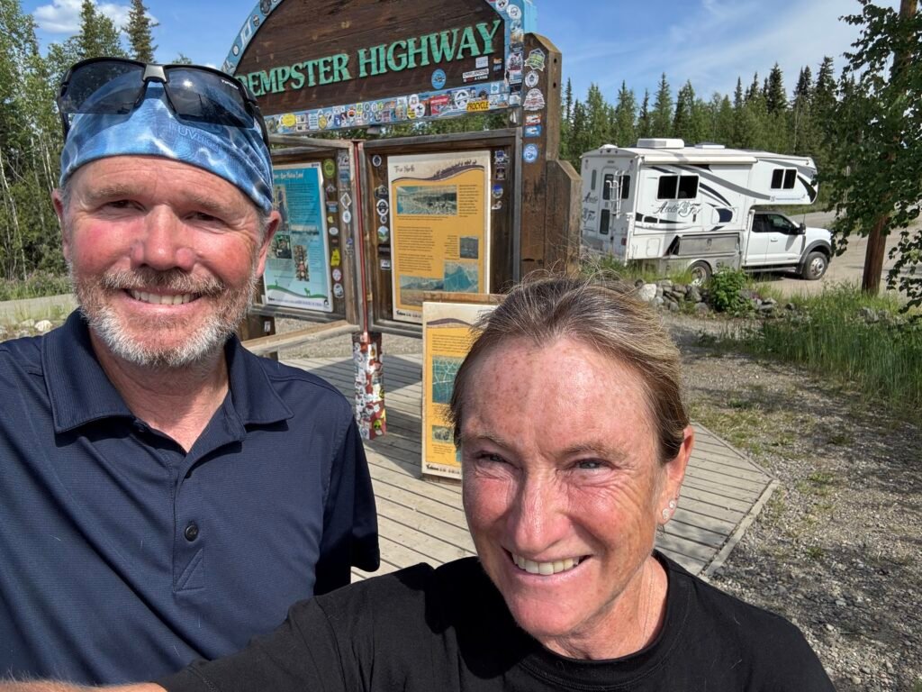
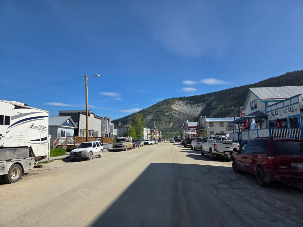
Happy 4th of July! We had a quick trip into Dawson City to get ready for our trek on the Dempster Highway. Dawson looks like a movie set with boardwalk sidewalks and colorful storefronts lining the gravel streets. Friendly folks all around helped us find everything we thought we needed: 3 loads of laundry, full tanks of water and diesel, and a bag of groceries. Now it was time to hit the Dempster.
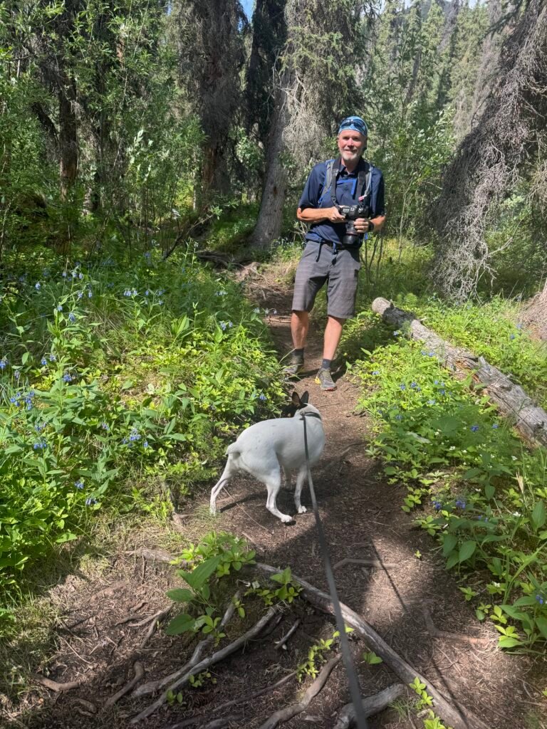
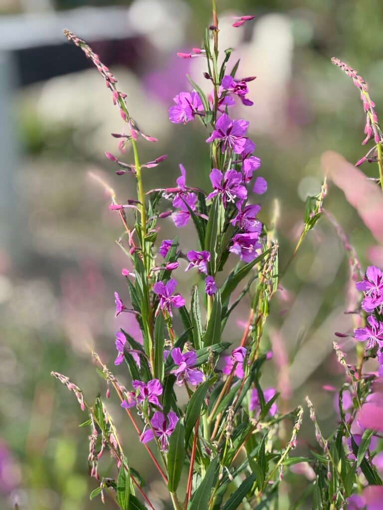
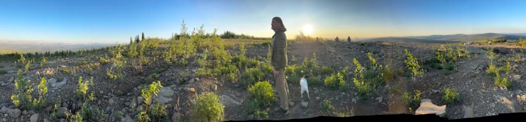
On our way to Tombstone Territorial Park Campground (72km up the highway), we couldn’t wait to stretch our legs so Dan found us a great hike up Grizzly Lakes Trail to the viewpoint. We were astonished to see a full parking lot at the base of the trailhead, given that we saw so few fellow adventurers on the road. We hit the trail at 4p and headed up this steep, rocky, lushly forested creek-side trail abundant with wildflowers. As we emerged above tree-line, we were treated with an incredible panorama of the Tombstone Wilderness. Yes, this is what it is all about! The temperatures were perfect, mosquitos were manageable, and the air was clear. Maddie was a model dog showing good trail etiquette: happily greeting the only couple that we saw on that afternoon hike and not trying to pull us up/down the trail. (It is a small world up here: turns out they would be our camp neighbors that night and trail companions the next day.) And, the wildflowers were amazing!
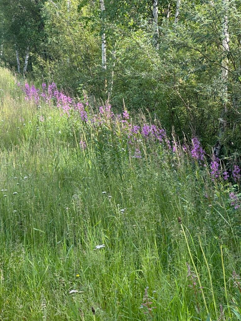
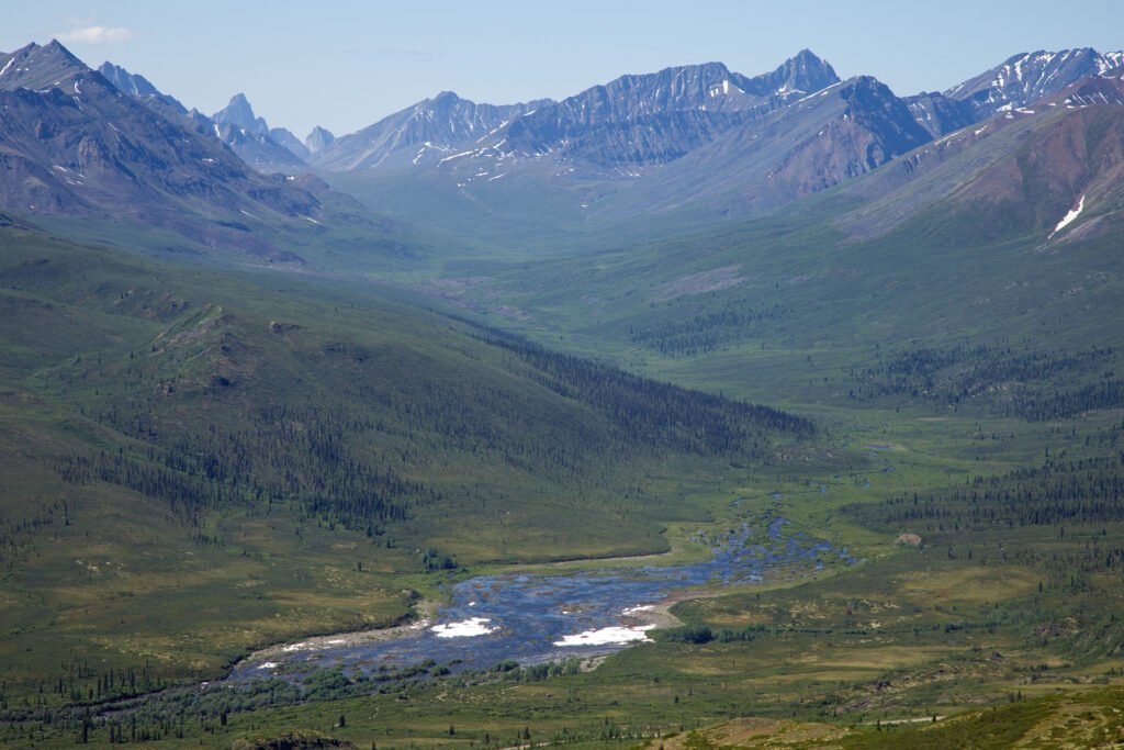
The folks at the Tombstone Interpretive Center are super helpful and enthusiastic. We left with a renewed sense of direction for our drive and new anticipation to hike the Goldensides Mountain trail. The trail is very popular and all above tree-line, which makes the views accessible and amazing. To the north and south you see the Dempster Highway disappearing down the valley, and to the southwest you can see down the North Klondike Valley all the way to Tombstone Mountain and the top of Mount Monolith as well.
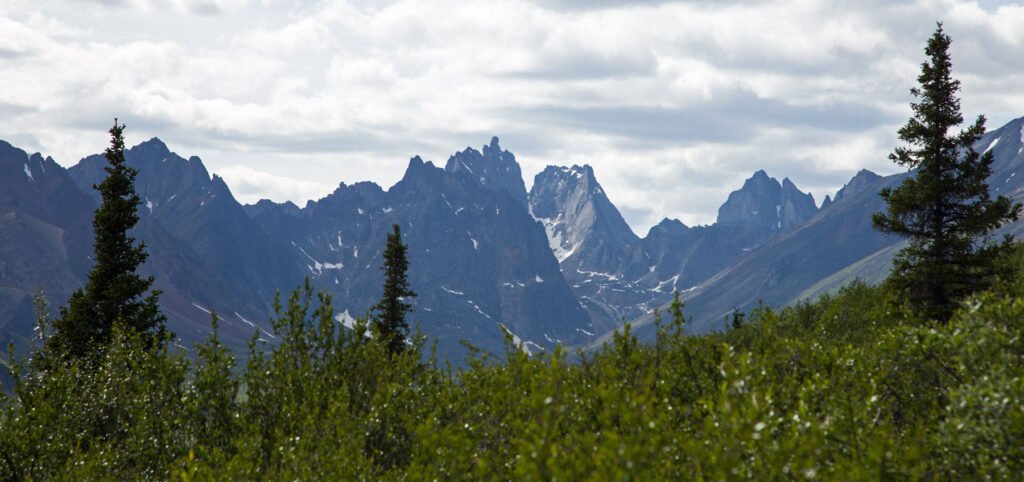
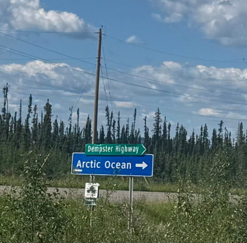
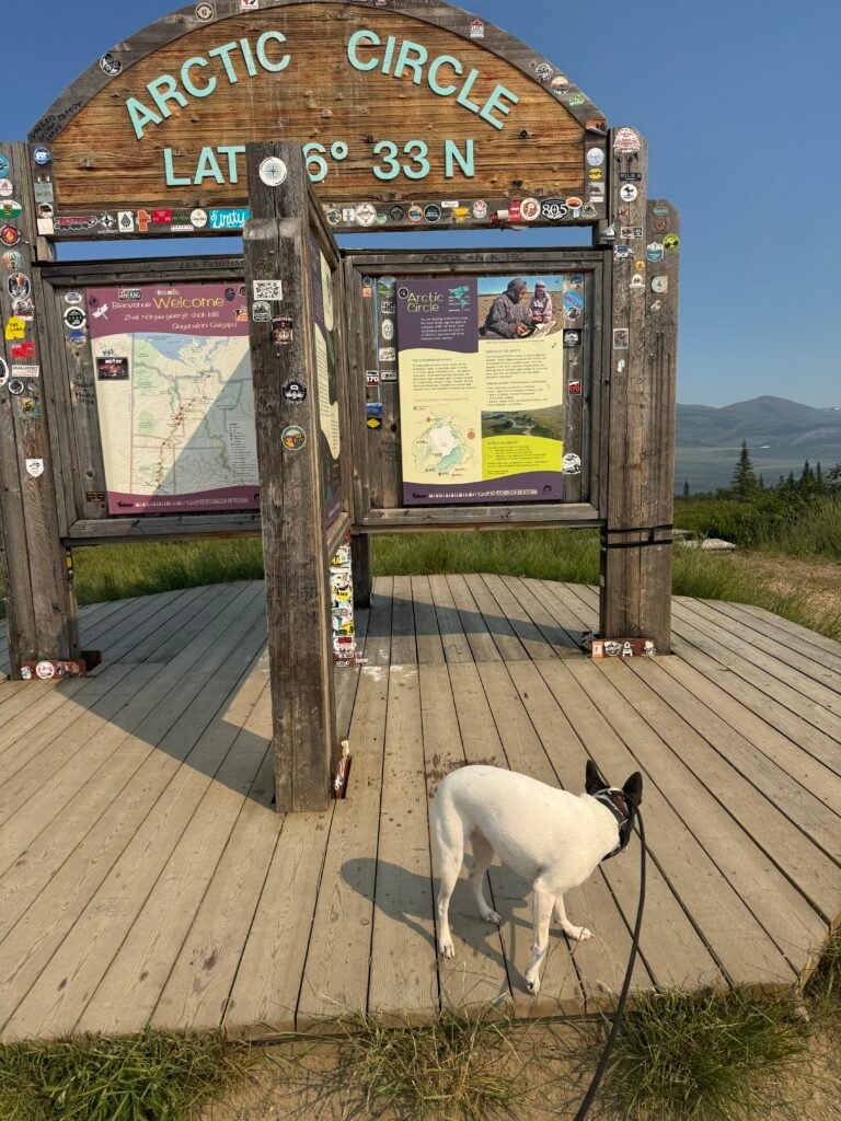
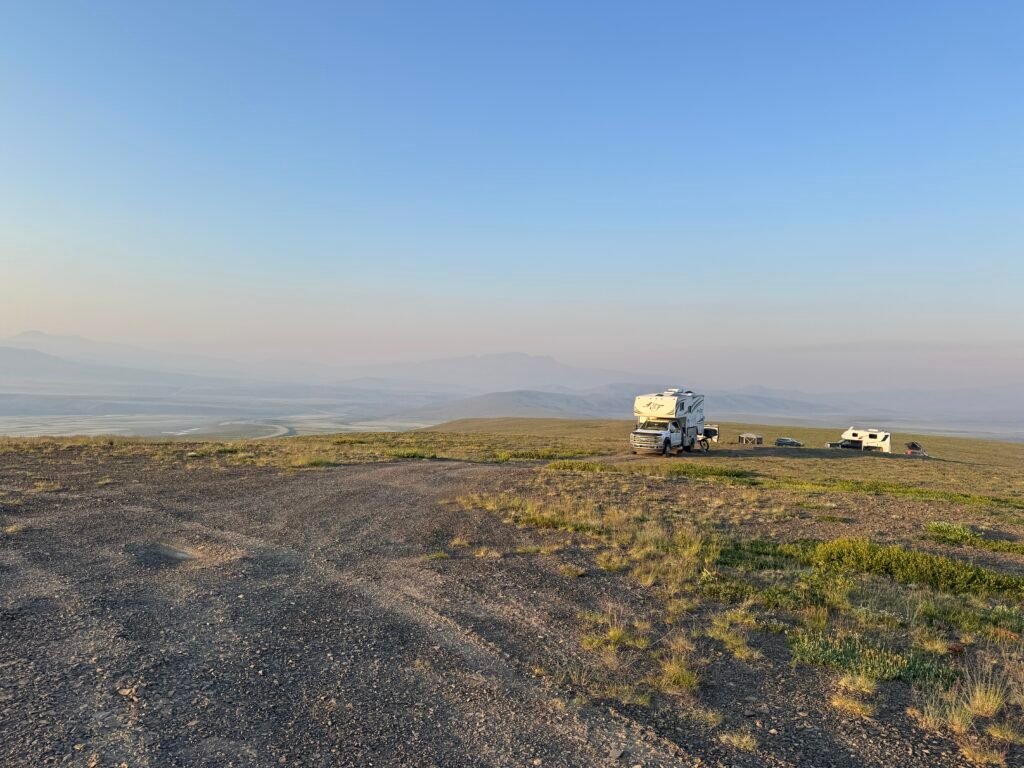
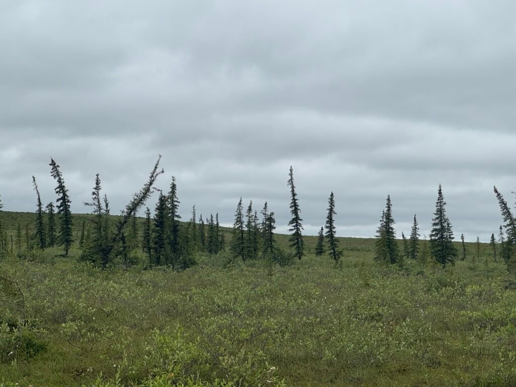
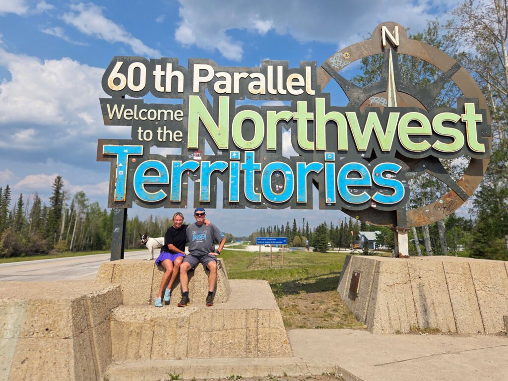
We jumped in our rig, eager to see where the road would take us. We decided that we would drive to the end of the road (450 miles with two ferry crossings) to Tuktoyaktuk and then meander back down the Dempster at a more leisurely pace. We bumped along for the next few days, awed by the vast landscapes and ever changing wilderness around us. The road condition, while being “good for the Dempster”, is not great (especially as you drive through northern Yukon). On day 2, after crossing the Arctic Circle and into the Northwest Territories and finally stopping to set up camp, we opened the back door to see not only the inches of dust, but our sliding bathroom door had torn off its slides as we rattled along. This gave us pause and set our next destination to be the hardware store in Inuvik (In the interim, Dan was able to cobble up a temporary fix to the twisted door hardware). Fortunately, being back in Northwest Territories, the gravel road conditions have improved; though rumor has it that they get rougher again after Inuvik.

After arriving in Inuvik, we had success at the hardware store, finding a new set of door slides. Unfortunately, the worsening air quality (due to smoke from the wildfires that have sprung up all around) sent us scurrying north to Tuk and the promise of improved AQ when we hit the Arctic Ocean.
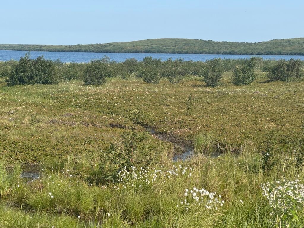
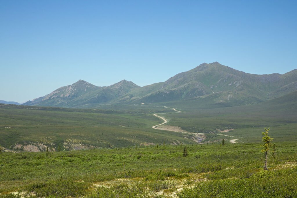
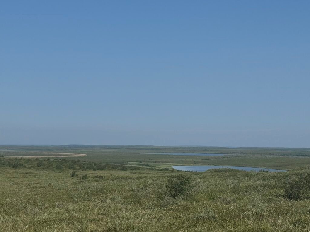
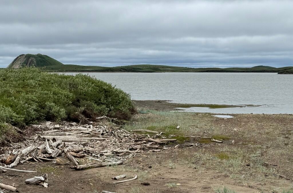
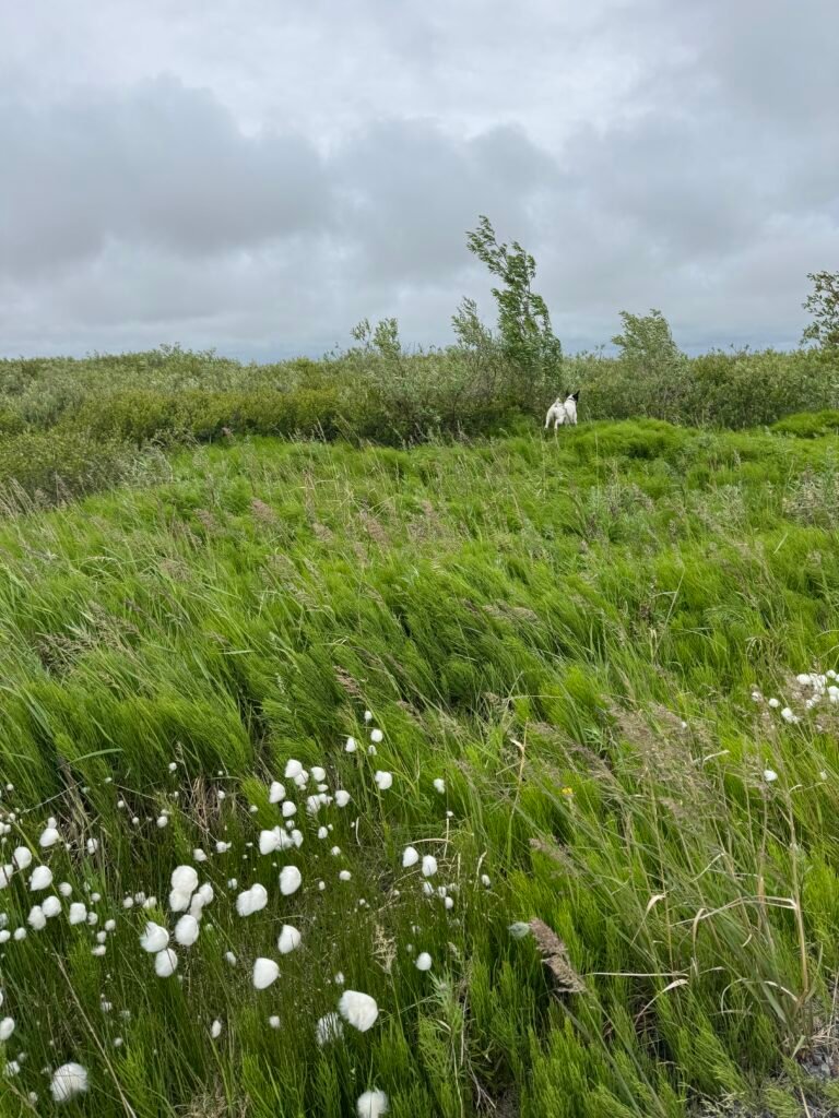
The road to Tuk is relatively new (2017) and is a work in progress. Considering what the road engineers were dealing with , the washboard is the least of our worries although it really impacts how fast you should go lest you bounce off the road into the soggy turf. The gravel road winds between the lakes and estuaries on a network of tundra. You become very aware as you drive that this area is about 75 percent water. Sparse boreal forest and plentiful wildflowers dot the landscape. Parked snow mobiles line the tundra along the route waiting for snow.
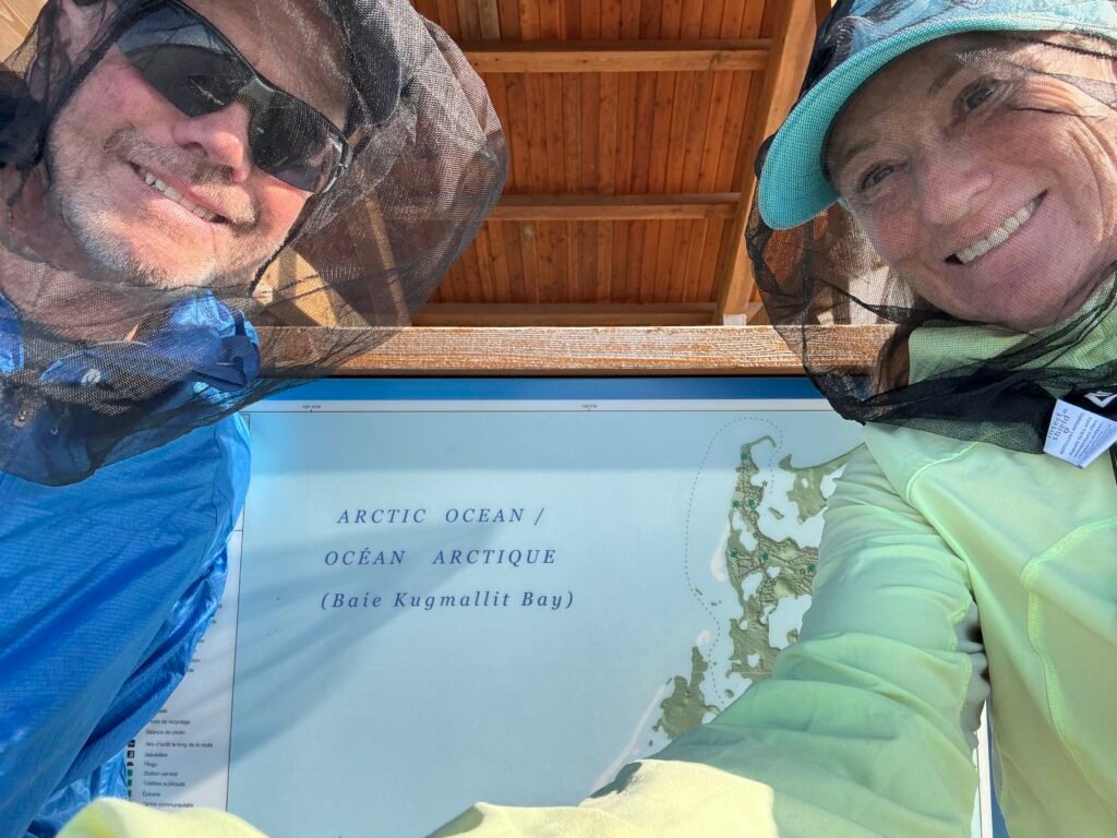
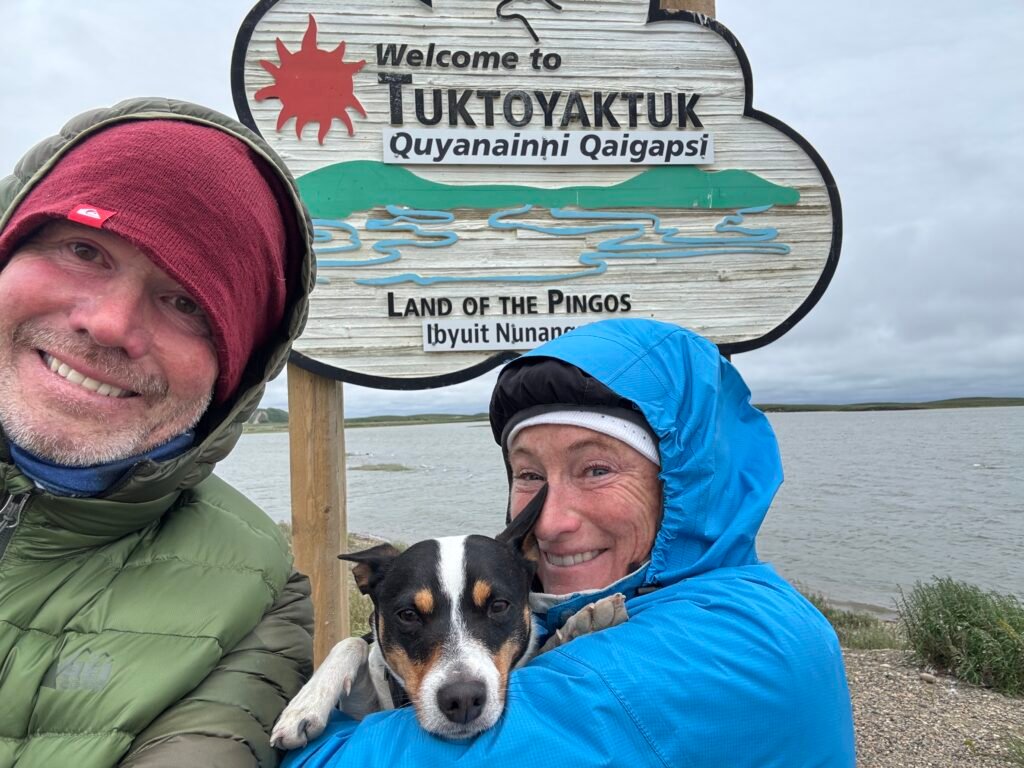
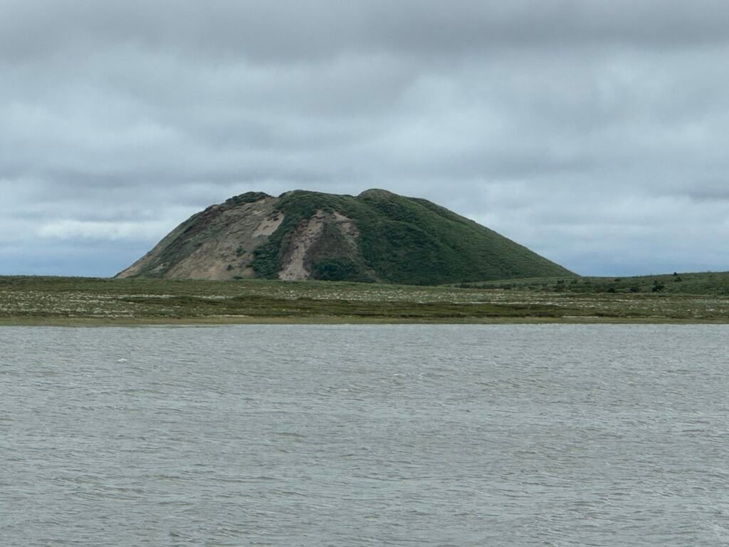
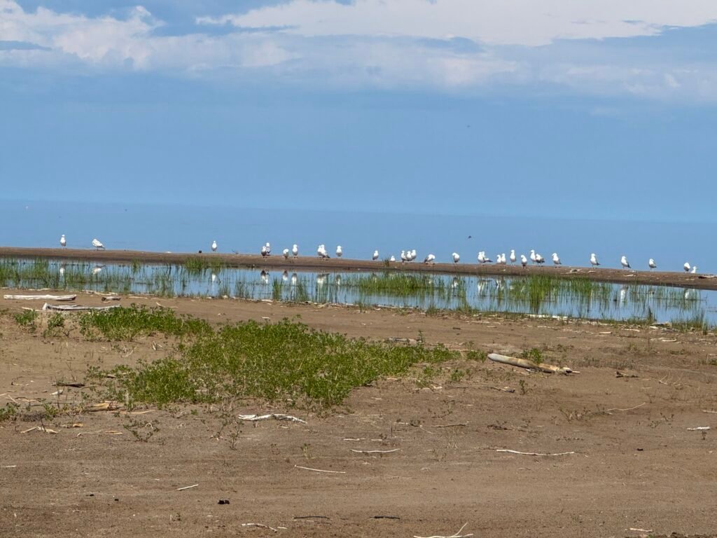
We arrived at the top of the world feeling triumphant and relieved. We were also heralded by mosquitos, thick as thieves, causing us to don our mosquito nets to settle the camper into our site at the Pingo Day Use area. This slightly out-of-town site was recommended to us by the camping area supervisor, as there is roadwork and improvements to the usual town camping spots. Surprisingly, we are the only ones here in this beach spit of land overlooking the Arctic Ocean and pingos. We are in heaven!
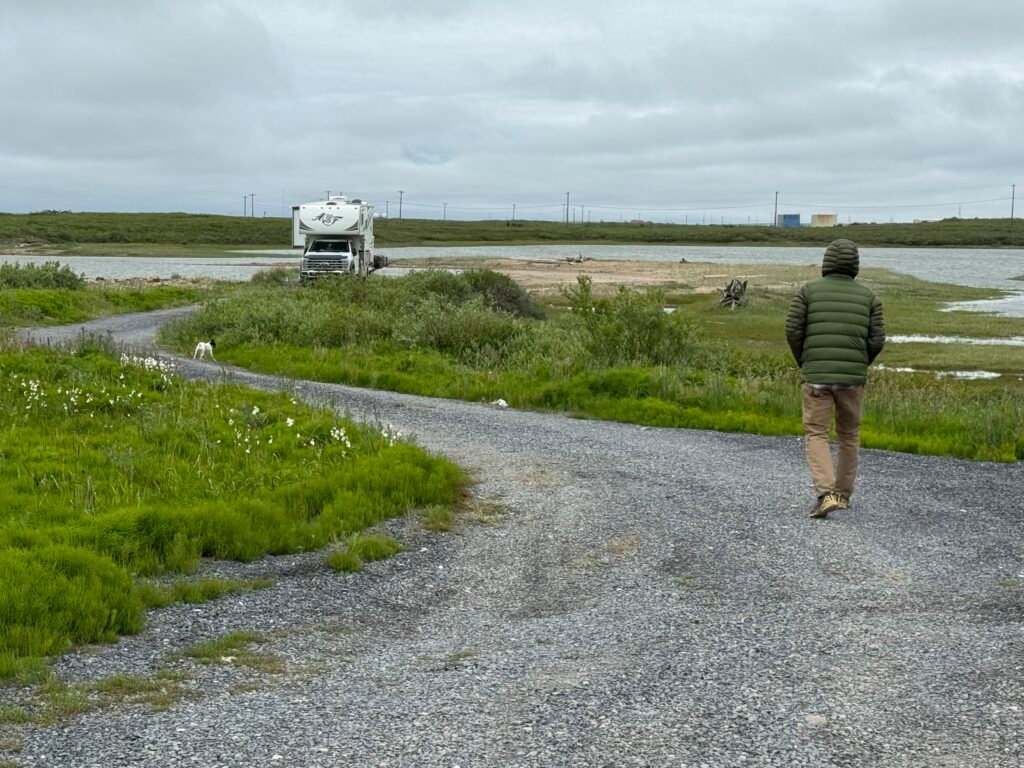
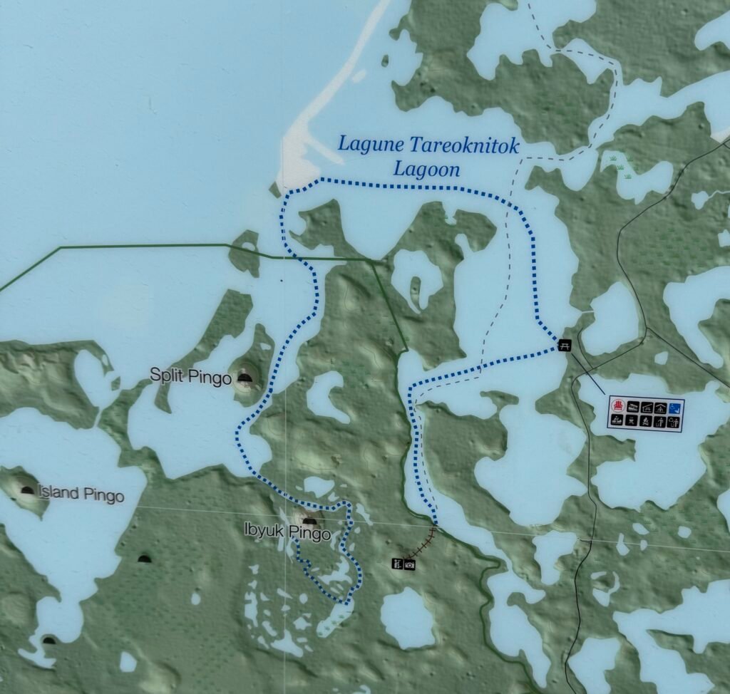
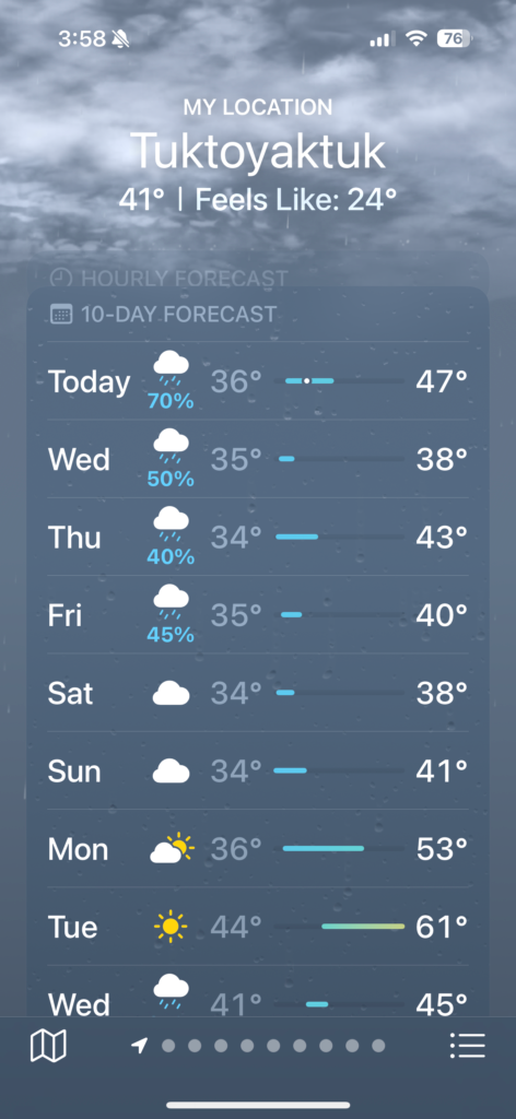
What are pingos? According to the visitors guide, Pingos originate in drained lakes, where groundwater seeps below the frozen surface, and forces it upward with alternating layers of ice and tundra. The largest pingo here, Ibyuk, is about 15 stories high and 1000 feet around at its base and is growing at the rate of about two centimeters a year. Ibyuk Pingo is visible from our campsite. I arrived excited to take the paddleboards and visit the boardwalk trail around Ibyuk but the temperatures plummeted overnight solving the mosquito nuisance but giving us quite the arctic experience with temperatures in the 30’s (Fahrenheit) with rain and wind that the weather app says make it feel like 24 degrees: we agree. I briefly considered putting on my wetsuit and down jacket and jumping on my paddle board anyway but Dan (my voice of reason) said that I am probably not likely to survive the hypothermia such an expedition would result in therefore leaving Maddie with out her dog mom. Hmmh.
As our weather here has taken a turn, the wildfires have, surprisingly, amped up too and currently the Dempster Highway is intermittently closed at Eagle Plains. While we wait for an opening on the road, we are taking a day to get caught up here, mixed with little moments of beach romps (until we are numb with cold and retreat to the warm camper again).
We look forward to a more leisurely return trip back down the Dempster Highway!

I’ve really been enjoying reading your blog and living through you vicariously! You’re probably well aware that it’s hotter than Hades here in Ivins. We’re having a really exciting summer remodeling our primary bathroom – yay! I did get away last week to the North Rim, only to have to leave prematurely because of wildfires. Oh well! Enjoy your trip and stay safe! Regards, Diane
Had to look online to find out what a pingo was and how it is formed. Is the big one in the pictures a constrained pingo or a free form pingo. Amazing how they in can form in what appears to be flat country. Dad
Not sure about the classification of that Pingo. It was big though! We saw a number of other Pingos in the area, many of them surrounded by land, so maybe those are constrained?